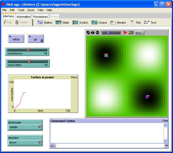
Climbing Turtles
Declaring State
The state of a patch is its elevation (as well as the pre-declared state):
patches-own [elevation]
globals [max-elevation min-elevation]
The altitude function will be used to compute the elevation of the patch at location (xc, yc):
to-report altitude [xc yc]
report 5000 - (xc * xc + yc * yc) ; =
5000 - xc^2 - yc^2
end
Initialization
to init
ca
init-patches
init-turtles
end
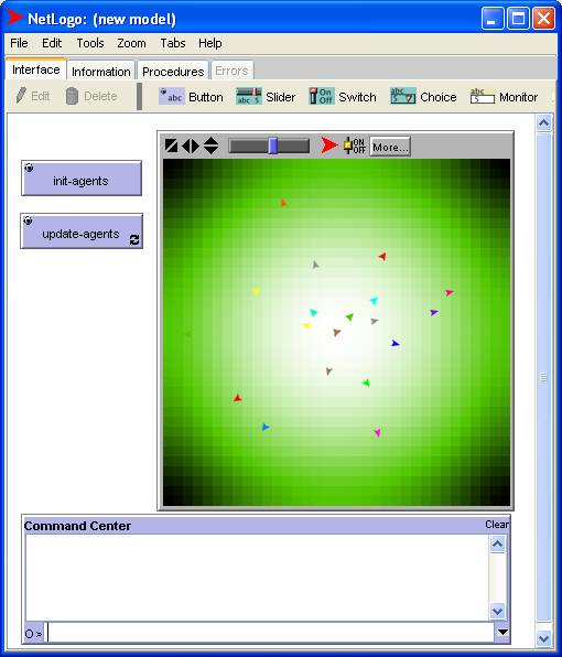
The turtles are initialized with random headings and positions:
to init-turtles
crt 20
ask turtles [set heading random 360 fd
random screen-edge-x]
end
After initializing the elevation of the center point of each patch, the edges are smoothed by applying the diffuse procedure five times. Finally, the color of each patch is shaded so that lighter shades correspond to higher elevations:
to init-patches
ask patches [set elevation altitude
pxcor pycor]
repeat 5 [diffuse elevation 1]
set max-elevation max values-from
patches [elevation]
set min-elevation min values-from
patches [elevation]
ask patches [set pcolor scale-color
green elevation
min-elevation max-elevation]
end
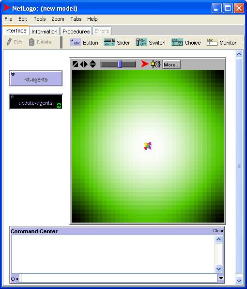
Climbing
to update
ask turtles [update-turtle] ; patches
don't need to be updated
end
On each update cycle a turtle moves one step in the uphill direction:
to update-turtle
set heading uphill elevation
if ( elevation-of patch-ahead 1 >
elevation ) [ fd 1 ]
end
Running the program
Before
After
Elaborating
Here's a screen shot of a slightly more elaborate version of the program: